The health of our forests is crucial for the well-being of our planet. With the help of AI, we can now analyze forest health using satellite images. This innovative approach enables us to detect issues such as illegal logging and disease detection before they become visible to the naked eye.
By leveraging AI and satellite images, we can monitor the condition of our forests more effectively. This technology has the potential to revolutionize the way we manage and protect our forests, ensuring a healthier planet for future generations.
Key Takeaways
- AI-powered analysis of satellite images helps detect forest health issues early.
- Illegal logging and disease detection can be identified before they become visible.
- This technology has the potential to revolutionize forest management.
- Effective monitoring of forest health is crucial for the well-being of our planet.
- AI and satellite images can be used together to protect our forests.
The Growing Threat to Global Forests
Global forests are under siege, with deforestation and environmental degradation taking a heavy toll. The world’s forests, which cover about 30% of the Earth’s land, are crucial for maintaining biodiversity, regulating the climate, and supporting local communities.
Current State of Deforestation Worldwide
The current state of deforestation is alarming, with millions of hectares of forest lost each year. This not only results in the loss of biodiversity but also exacerbates climate change.
Statistics and Trends
Some key statistics highlight the severity of the issue:
- Over 13 million hectares of forest are lost annually.
- The rate of deforestation is highest in the tropics.
- Deforestation accounts for about 15% of global greenhouse gas emissions.
Economic and Environmental Impact
The economic and environmental impacts of deforestation are far-reaching. Forests provide essential ecosystem services, including carbon sequestration, water cycling, and soil conservation. Their loss can lead to significant economic costs and environmental degradation.
“Forests are the lungs of the Earth, absorbing carbon dioxide and producing oxygen. Their destruction has severe consequences for the environment and human well-being.”
The Challenge of Early Detection
One of the significant challenges in combating deforestation and forest threats is early detection. Forests are often located in remote and inaccessible areas, making it difficult to monitor their health.
Time-Sensitive Nature of Forest Threats
Forest threats, such as illegal logging and disease outbreaks, require immediate attention. The time-sensitive nature of these threats means that delayed detection can lead to irreversible damage.
Remote and Inaccessible Areas
Forests in remote areas pose a particular challenge for monitoring. Traditional methods often fall short in these regions, highlighting the need for innovative solutions like AI-powered monitoring systems.
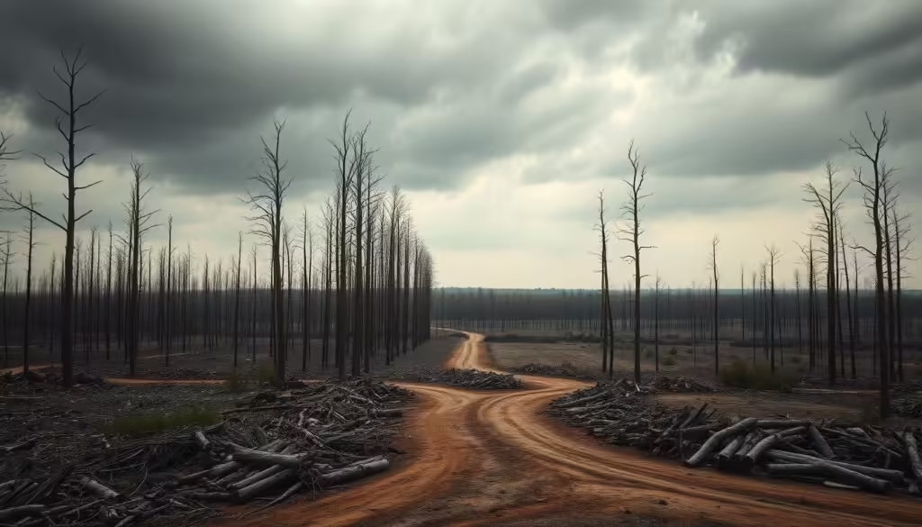
Traditional Forest Monitoring Methods and Their Limitations
Conventional approaches to forest monitoring, though valuable, are increasingly recognized for their constraints in ensuring Sustainability and Green Tech. Traditional methods have been the backbone of forest conservation efforts, but they come with significant limitations.
Ground-Based Surveys
Ground-based surveys involve physical inspections of forest areas. While they provide detailed information, they are resource-intensive.
Human Resources Required
These surveys demand a substantial workforce with specialized training, making them costly and logistically challenging.
Coverage Limitations
Moreover, ground-based surveys can only cover a limited area, potentially missing critical changes in remote or vast forest regions.
| Method | Advantages | Limitations |
|---|---|---|
| Ground-Based Surveys | Detailed information | Resource-intensive, limited coverage |
| Basic Satellite Imagery Analysis | Broad coverage, cost-effective | Resolution limitations, data interpretation challenges |
Basic Satellite Imagery Analysis
Basic satellite imagery analysis offers a broader perspective, enabling the monitoring of larger forest areas. However, it faces challenges such as resolution limitations and the need for sophisticated data interpretation.
Why Traditional Methods Fall Short
Traditional forest monitoring methods, whether ground-based or reliant on basic satellite imagery, struggle to keep pace with the dynamic nature of forest ecosystems. They often fail to provide timely and comprehensive insights necessary for effective conservation and sustainable management.
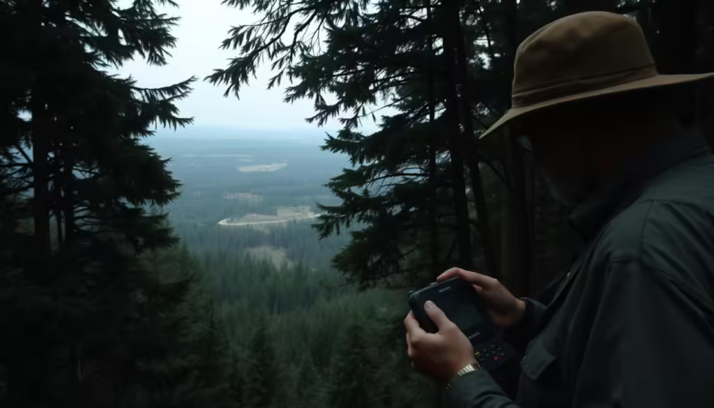
The Revolution of AI in Earth's Environmental Sustainability and Green Tech
The integration of AI in environmental monitoring is revolutionizing the way we approach sustainability and green technology. By harnessing the power of AI, we can now analyze vast amounts of data related to the Earth’s health, enabling more effective conservation efforts.
How AI is Transforming Environmental Monitoring
AI is transforming environmental monitoring by providing advanced tools for data analysis and pattern recognition. This enables researchers to identify trends and anomalies that may not be visible to the naked eye, facilitating early intervention in environmental issues.
The Intersection of AI and Satellite Technology
The combination of AI and satellite technology is a game-changer in environmental monitoring. Satellites can capture high-resolution images of the Earth’s surface, which AI algorithms can then analyze to detect changes in land use, deforestation, and other environmental indicators.
Types of Satellites Used
Various types of satellites are used for environmental monitoring, including optical satellites like Landsat and Sentinel-2, and radar satellites like Sentinel-1. Each type of satellite provides different data, such as optical images or radar data, which can be used to monitor different aspects of the environment.
Resolution and Data Collection Capabilities
The resolution and data collection capabilities of satellites vary widely. For example, some satellites can capture images with a resolution of less than a meter, while others may have a coarser resolution but cover larger areas. AI can process this diverse data to provide insights into environmental changes.
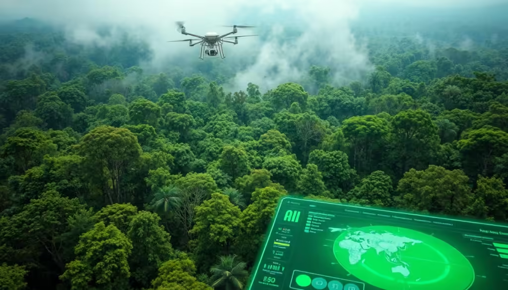
By leveraging AI and satellite technology, we can gain a better understanding of the Earth’s health and develop more effective strategies for environmental conservation. This synergy is crucial for addressing the complex challenges facing our planet today.
How AI Analyzes Satellite Images for Forest Health Assessment
AI has revolutionized the way we monitor forest health through advanced satellite image analysis. This technology enables us to assess forest conditions more accurately and efficiently than ever before.
Types of Satellite Data Used
Satellite data used for forest health assessment comes in various forms, each providing unique insights.
Multispectral Imaging
Multispectral imaging captures data across several spectral bands, allowing for the identification of vegetation health and stress.
Hyperspectral Imaging
Hyperspectral imaging collects data across many more spectral bands than multispectral imaging, providing detailed information about forest canopy composition.
Synthetic Aperture Radar (SAR)
SAR technology uses radar waves to capture images, regardless of weather conditions, enabling continuous monitoring of forest health.
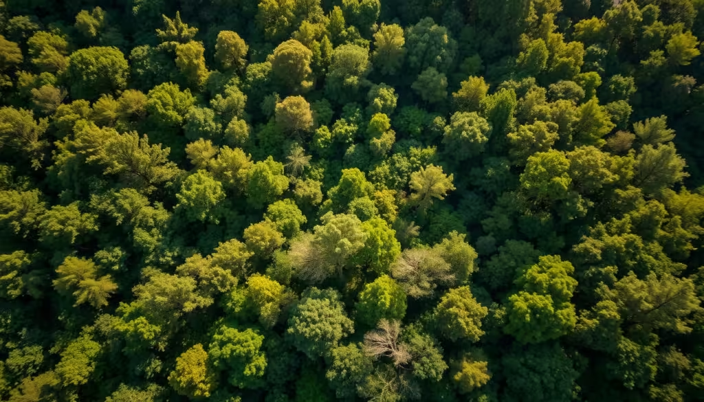
Machine Learning Algorithms for Image Analysis
Machine learning algorithms are crucial for analyzing the vast amounts of data collected by satellites. These algorithms can identify patterns and anomalies indicative of forest health issues.
Pattern Recognition in Forest Canopies
AI’s ability to recognize patterns in forest canopies allows for the early detection of diseases, infestations, and other health issues. This capability is vital for proactive forest management.
By leveraging AI to analyze satellite images, we can gain a deeper understanding of forest ecosystems and take timely action to protect them.
Early Detection of Illegal Logging Activities
Advanced AI algorithms are now capable of detecting subtle changes in forest canopies, indicating potential illegal logging. This technological advancement is crucial in the fight against deforestation and environmental degradation.
Identifying Logging Patterns Before Visible Damage
AI systems can analyze satellite images to identify patterns that may suggest illegal logging activities before they become visible to the naked eye.
Subtle Canopy Changes
One of the key indicators of illegal logging is subtle changes in the forest canopy. AI can detect these changes by analyzing high-resolution satellite imagery.
Road Network Development Detection
The development of new road networks is often a precursor to illegal logging. AI algorithms can identify these changes and flag them for further investigation.
Real-Time Alerts and Response Systems
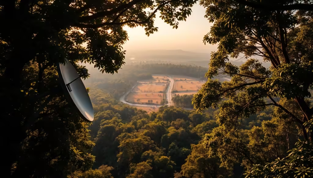
AI-powered systems can provide real-time alerts to authorities when potential illegal logging activities are detected. This enables a swift response to mitigate the damage.
“The integration of AI in forest monitoring has been a game-changer. It allows us to respond quickly and effectively to illegal logging activities.”
Success Stories in Combating Illegal Logging
There have been several success stories where AI-powered systems have helped in combating illegal logging. For instance, a project in the Amazon rainforest used AI to detect and prevent illegal logging activities, resulting in a significant reduction in deforestation.
| Region | Year | Reduction in Deforestation |
|---|---|---|
| Amazon Rainforest | 2022 | 30% |
| Southeast Asia | 2023 | 25% |
Spotting Forest Diseases and Infestations Before They're Visible to the Eye
With the help of AI, subtle signs of forest diseases and infestations can now be identified long before they are visible to the naked eye. This early detection capability is crucial for maintaining forest health and preventing widespread damage.
Subtle Signs of Tree Disease Visible to AI
AI algorithms can analyze satellite images to detect minute changes in forest canopies, indicating stress or disease. Two key indicators that AI looks for are:
Spectral Signatures of Stressed Vegetation
Vegetation under stress often reflects different spectral signatures than healthy vegetation. AI can identify these subtle changes, which are not visible to the human eye, to detect early signs of disease or pest infestation.
Early Indicators of Bark Beetle Infestation
Bark beetles are a significant threat to many forests worldwide. AI can detect early signs of infestation, such as changes in tree color or canopy structure, before the infestation becomes widespread.
Common Forest Pathogens and Their Signatures
Different pathogens affect forests in distinct ways, often leaving unique spectral signatures. For instance, fungal infections might cause different changes in vegetation reflectance compared to bacterial infections. A table summarizing some common forest pathogens and their detectable signatures is provided below:
| Pathogen | Signature | Detectable By |
|---|---|---|
| Fungal Infection | Changes in NIR reflectance | Multispectral Imaging |
| Bacterial Infection | Alterations in Leaf Color | Hyperspectral Imaging |
| Bark Beetle Infestation | Tree Mortality Patterns | Multitemporal Analysis |
Early Intervention Strategies
Once AI detects early signs of forest disease or infestation, several early intervention strategies can be employed. These include targeted pesticide application, removal of infested trees, and biological control methods. Early intervention not only helps in containing the disease or infestation but also reduces the economic and environmental impact.
By leveraging AI for forest health monitoring, we can adopt a proactive approach to forest management, ensuring the health and sustainability of our forests for future generations.
Monitoring Climate Change Impact Through Forest Analysis
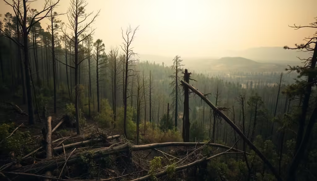
As climate change continues to escalate, monitoring its impact on global forests has become increasingly crucial. Forests play a vital role in the global ecosystem, and their health is closely tied to the overall sustainability of the planet.
Tracking Carbon Sequestration Capabilities
One of the key aspects of forest analysis is tracking their carbon sequestration capabilities. Forests absorb significant amounts of CO2, and their capacity to do so is affected by climate change. AI-powered analysis can help monitor changes in forest carbon storage, providing insights into how forests respond to different climate conditions.
- Analyzing satellite data to assess forest health and carbon sequestration potential
- Utilizing machine learning algorithms to predict future changes in forest carbon storage
- Identifying areas where forests are most vulnerable to climate-related stress
Identifying Climate-Related Stress in Forests
Climate-related stress can manifest in various ways, including drought patterns and temperature-related stress indicators. AI can analyze satellite images to detect early signs of stress, enabling proactive measures to mitigate potential damage.
Drought Patterns
Droughts can have a devastating impact on forests, leading to tree mortality and increased risk of wildfires. By analyzing satellite data, AI can identify areas experiencing drought stress, allowing for targeted interventions.
Temperature-Related Stress Indicators
Rising temperatures can also stress forest ecosystems, making them more susceptible to disease and pests. AI-powered analysis can detect subtle changes in forest health related to temperature fluctuations, providing early warnings for potential issues.
“The integration of AI in forest monitoring represents a significant step forward in our ability to understand and mitigate the impacts of climate change on global forests.”
Predicting Future Forest Health Trends
By analyzing historical data and current trends, AI can predict future forest health trends. This predictive capability is crucial for developing effective conservation strategies and ensuring the long-term sustainability of forest ecosystems.
In conclusion, monitoring climate change impact through forest analysis is vital for understanding the complex interactions between forests and the climate. By leveraging AI and satellite data, we can gain valuable insights into forest health and carbon sequestration capabilities, ultimately informing policies and practices that promote sustainability.
Case Studies: AI Forest Monitoring Technology in Action
From the Amazon to Southeast Asia, AI-powered forest monitoring systems are revolutionizing the way we protect our forests. This section highlights several case studies that demonstrate the effectiveness of AI forest monitoring technology in various regions.
Amazon Rainforest Protection Initiatives
The Amazon rainforest, often referred to as the “lungs of the Earth,” has been a focal point for conservation efforts. AI forest monitoring has played a crucial role in protecting this vital ecosystem.
Brazil's DETER System
Brazil’s DETER (Real-Time Deforestation Detection System) uses AI algorithms to analyze satellite data and detect deforestation in real-time. This system has been instrumental in identifying and responding to illegal logging activities.
NGO-Led Monitoring Projects
Various NGOs have also implemented AI-powered monitoring projects in the Amazon. These initiatives have not only helped in detecting deforestation but also in engaging local communities in conservation efforts.
Boreal Forest Monitoring in North America
In North America, the boreal forest is another critical ecosystem that has benefited from AI forest monitoring. Advanced satellite imagery and machine learning algorithms are being used to track changes in forest health and detect early signs of disease or insect infestations.
Southeast Asian Deforestation Prevention
Southeast Asia, with its rich biodiversity, has seen significant deforestation in recent years. AI forest monitoring systems are being deployed to combat this issue. These systems provide real-time data on forest cover changes, enabling swift action against illegal logging activities.
| Region | AI Monitoring System | Impact |
|---|---|---|
| Amazon Rainforest | DETER System | Real-time deforestation detection |
| North America | Satellite-based monitoring | Early detection of forest diseases |
| Southeast Asia | AI-powered deforestation tracking | Prevention of illegal logging |
These case studies demonstrate the versatility and effectiveness of AI forest monitoring technology in protecting forests worldwide. As the technology continues to evolve, we can expect even more innovative applications in forest conservation.
Challenges and Limitations of AI Forest Monitoring
Despite its potential, AI-driven forest monitoring encounters numerous obstacles. While AI has revolutionized the field of environmental monitoring, its application in forest health assessment is not without challenges.
Technical Challenges
Technical challenges are a significant hurdle in AI forest monitoring. Two primary issues are:
Cloud Cover and Weather Interference
Satellite imagery, a crucial data source for AI forest monitoring, is often hindered by cloud cover and adverse weather conditions. This can lead to gaps in data collection and analysis.
Algorithm Accuracy and False Positives
The accuracy of machine learning algorithms used in AI forest monitoring can be compromised by factors such as data quality and algorithmic biases, leading to false positives or negatives.
Data Accessibility Issues
Access to high-quality, comprehensive data is essential for effective AI forest monitoring. However, data accessibility can be limited by factors such as satellite data availability, cost, and regional data sharing policies.
Implementation Barriers in Developing Regions
In developing regions, the implementation of AI forest monitoring technologies can be hindered by infrastructure limitations, lack of technical expertise, and financial constraints.
| Challenge | Description | Impact |
|---|---|---|
| Cloud Cover | Interference from clouds affecting satellite imagery | Gaps in data collection |
| Algorithm Accuracy | Issues with machine learning algorithm precision | False positives/negatives |
| Data Accessibility | Limited access to quality data | Incomplete analysis |
The Future of AI-Powered Forest Conservation
As we’ve explored, AI is revolutionizing the way we monitor and protect our forests. The future of AI-powered forest conservation holds much promise, with potential applications in Sustainability, Green Tech, and addressing Climate Change.
By leveraging AI to analyze satellite images, we can identify areas of deforestation and habitat destruction before they become irreversible. This proactive approach enables conservation efforts to be more effective, protecting biodiversity and promoting ecological balance.
The integration of AI in forest conservation also supports Green Tech initiatives, driving innovation in environmental monitoring and management. As Climate Change continues to pose a significant threat to global forests, AI-powered solutions will play a critical role in mitigating its impacts.
Looking ahead, the continued development and deployment of AI technologies will be crucial in safeguarding the world’s forests, ensuring a more sustainable future for generations to come.
FAQ
How does AI analyze forest health from satellite images?
AI analyzes forest health by processing satellite data through machine learning algorithms, identifying patterns and anomalies that indicate disease, logging, or other stressors.
What types of satellite data are used for forest health assessment?
Multispectral, hyperspectral, and Synthetic Aperture Radar (SAR) data are used to assess forest health, each providing unique insights into vegetation characteristics and stressors.
Can AI detect illegal logging before it's visible to the human eye?
Yes, AI can identify subtle changes in forest canopies and detect logging patterns before they become visible, enabling early intervention.
How does AI spot forest diseases and infestations?
AI analyzes spectral signatures of stressed vegetation, detecting early signs of disease and infestation, such as those caused by bark beetles, before they become visible.
What are the benefits of using AI for forest monitoring?
AI-powered forest monitoring enables early detection of threats, improves response times, and enhances conservation efforts, ultimately protecting global forests and promoting sustainability.
What are the challenges of implementing AI forest monitoring in developing regions?
Implementation barriers in developing regions include limited data accessibility, technical infrastructure, and resources, which can hinder the effectiveness of AI forest monitoring.
How can AI-powered forest analysis help monitor climate change impact?
AI-powered forest analysis can track carbon sequestration capabilities, identify climate-related stress in forests, and predict future forest health trends, providing valuable insights into climate change impact.
What is the role of machine learning algorithms in AI forest monitoring?
Machine learning algorithms are used to analyze satellite data, identify patterns, and detect anomalies, enabling AI to accurately assess forest health and detect potential threats.


