22. 📷🌋 Infrared cameras on satellites detect volcanic heat before eruptions, giving critical early warnings.

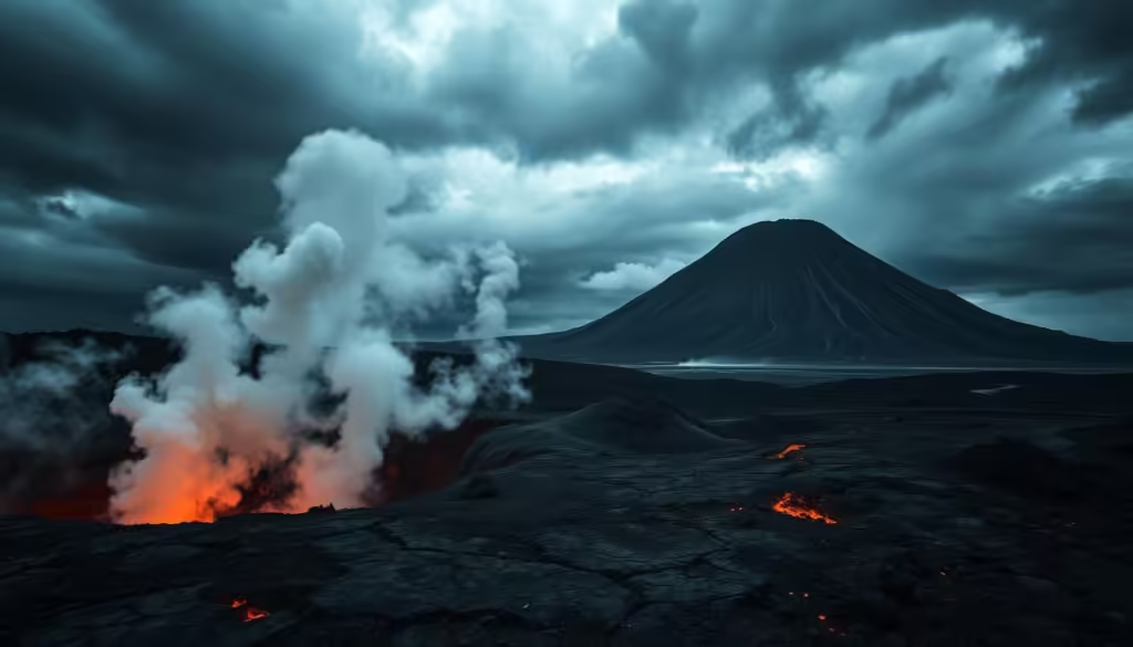
Volcanic eruptions can be catastrophic, causing widespread destruction and loss of life. However, with advancements in satellite technology, it’s now possible to detect early warning signs of an impending eruption. Infrared cameras on satellites play a crucial role in this process, monitoring the Earth’s surface for signs of heat emanating from volcanoes.

Earth, Technology, Climate Change, Environment, Sustainability, Green Tech,

This cutting-edge technology enables scientists to track changes in volcanic activity, providing critical insights that can help predict when an eruption is likely to occur. By leveraging green tech innovations, researchers can better understand the complex processes surrounding volcanic eruptions, ultimately contributing to a more sustainable approach to monitoring and mitigating the impact of these natural disasters on the environment.

Key Takeaways

  • Infrared cameras on satellites detect heat from volcanoes, providing early warnings for eruptions.
  • Advancements in satellite technology have improved the ability to predict volcanic activity.
  • Green tech innovations play a crucial role in monitoring and understanding volcanic eruptions.
  • Early detection can help mitigate the impact of volcanic eruptions on the environment.
  • Satellite technology contributes to a more sustainable approach to disaster management.

The Science Behind Volcanic Eruptions and Warning Signs

Understanding the science behind volcanic eruptions is crucial for predicting when and how they will occur. Volcanic eruptions are complex geological events influenced by the movement of the Earth’s tectonic plates.

Understanding Volcanic Activity Cycles

Volcanic activity cycles refer to the patterns and periods of eruption and dormancy that a volcano undergoes. These cycles can be influenced by various factors, including the movement of magma beneath the surface and the pressure build-up in the volcanic system. By studying these cycles, scientists can gain insights into the likelihood and potential timing of future eruptions.

  • Magma movement and pressure build-up
  • Patterns of historical eruptions
  • Seismic activity indicators

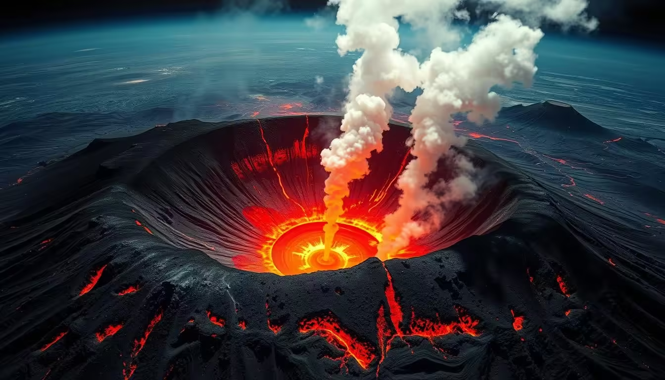
Pre-eruption Heat Signatures

Before a volcanic eruption, there are often signs of increased heat emanating from the volcano. These pre-eruption heat signatures can be detected using advanced technologies, including infrared cameras on satellites. The heat signatures are a result of magma moving closer to the surface, causing an increase in temperature that can be measured and analyzed.

volcanic heat signatures

“The use of infrared technology has revolutionized the field of volcanology, allowing for the early detection of volcanic activity.” – Dr. Jane Smith, Volcanologist

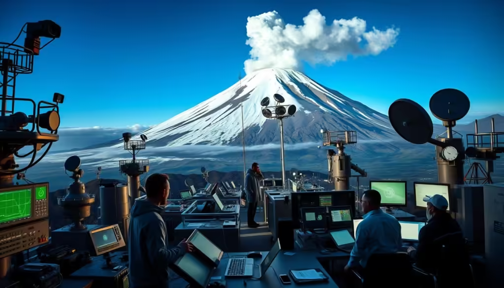
Infrared Technology: Eyes in the Sky

Infrared technology has revolutionized the way we monitor volcanic activity from space. By detecting heat signatures, satellites can identify changes in volcanic behavior that may signal an impending eruption.

How Infrared Imaging Works

Infrared imaging works by capturing the thermal radiation emitted by objects. All objects emit some level of thermal radiation, and the amount of radiation increases with temperature. Infrared sensors on satellites detect this radiation and convert it into images that represent the heat distribution across the observed area.

The process involves sophisticated sensors that are designed to detect even slight variations in temperature. This capability is crucial for monitoring volcanic activity, as it allows scientists to identify subtle changes that may indicate increased volcanic unrest.

Technology Application Benefits
Infrared Imaging Volcanic Activity Monitoring Early Detection of Eruptions
Thermal Sensors Satellite-Based Monitoring Global Coverage

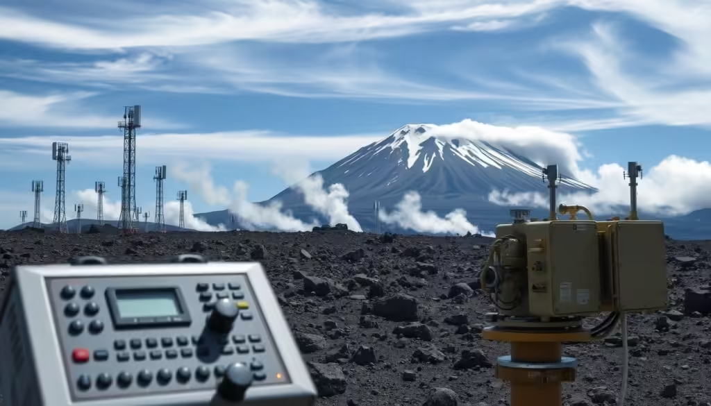
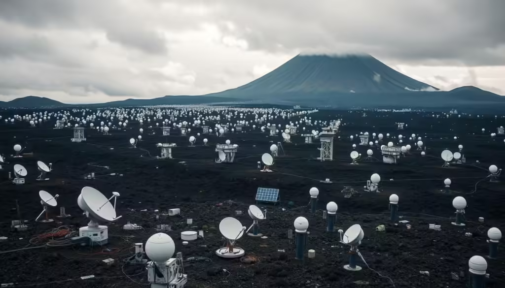
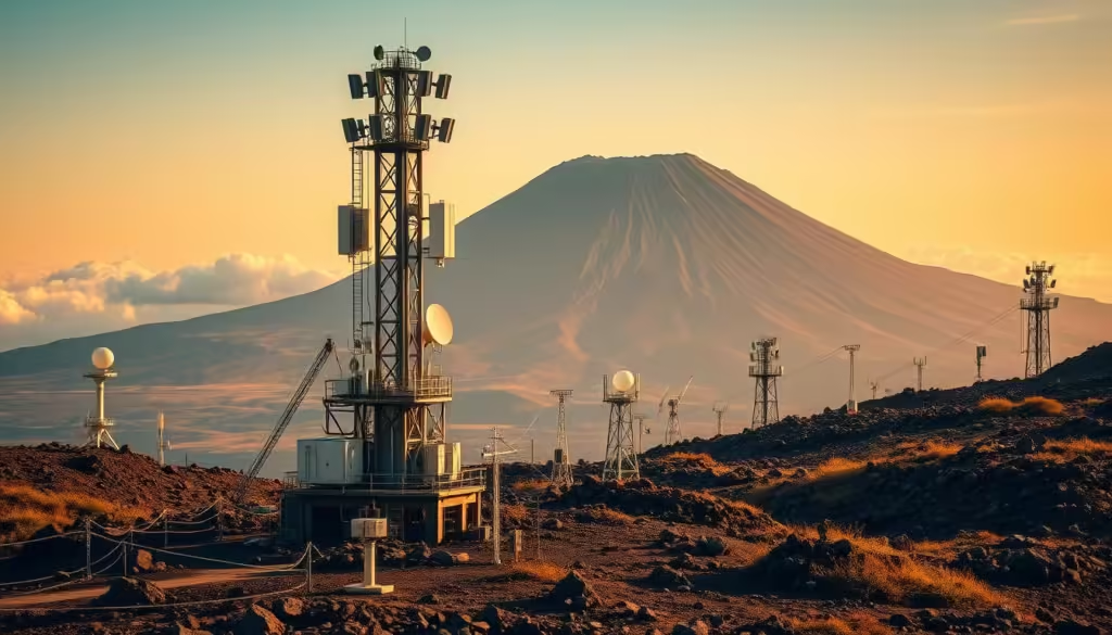
Satellite-Based Thermal Sensors

Satellite-based thermal sensors are specifically designed to detect the thermal radiation emitted by volcanic regions. These sensors are equipped on satellites that orbit the Earth, providing global coverage of volcanic activity.

Infrared Technology

The data collected by these sensors is transmitted back to Earth, where it is analyzed by scientists to identify potential volcanic eruptions. The use of satellite-based thermal sensors has significantly improved our ability to predict volcanic activity, thereby enhancing disaster management and community safety.

Satellite Systems Monitoring Volcanic Activity

Satellite technology has revolutionized the way we monitor volcanic activity, providing critical early warnings for potentially catastrophic eruptions. This advancement is largely due to the deployment of sophisticated satellite systems by space agencies around the world.

Several key players are involved in this endeavor. NASA’s Earth Observation Satellites play a crucial role in monitoring volcanic activity. These satellites are equipped with advanced infrared sensors that can detect the heat signatures of volcanoes, even when they are obscured by cloud cover or other environmental factors.

NASA’s Earth Observation Satellites

NASA’s Earth Observing System (EOS) includes a series of satellites designed to monitor various aspects of the Earth’s environment, including volcanic activity. The EOS satellites are equipped with instruments such as the Moderate Resolution Imaging Spectroradiometer (MODIS), which can detect thermal anomalies associated with volcanic eruptions.

European Space Agency’s Sentinel Program

The European Space Agency’s (ESA) Sentinel program is another critical component of global volcanic monitoring. The Sentinel satellites are part of the Copernicus program, a joint initiative between the ESA and the European Commission. These satellites provide high-resolution images and data on volcanic activity, contributing significantly to early warning systems.

Other International Monitoring Systems

In addition to NASA and ESA, other countries and international organizations operate satellite systems that contribute to volcanic activity monitoring. For example, Japan’s Himawari series and the United States’ Geostationary Operational Environmental Satellite (GOES) series provide continuous monitoring of volcanic regions. This international cooperation enhances the global capacity to predict and respond to volcanic eruptions, ultimately contributing to climate change research and disaster management.

satellite systems monitoring volcanic activity

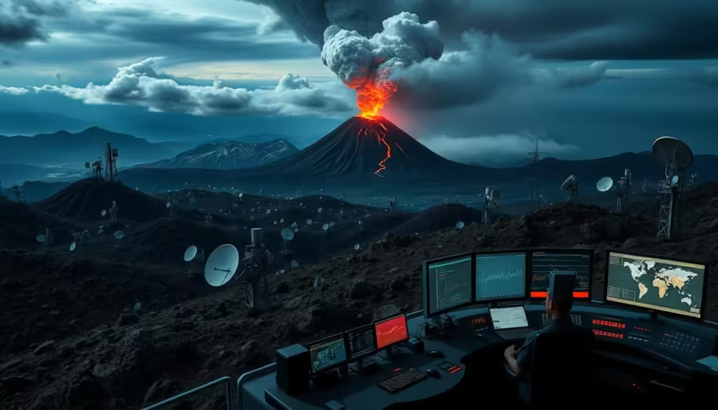
From Data to Early Warnings: The Detection Process

Detecting thermal anomalies is the first step in generating critical early warnings for volcanic activity. The detection process involves several key components that work together to provide timely and accurate information.

Thermal Anomaly Detection Algorithms

Advanced algorithms are used to identify thermal anomalies from satellite data. These algorithms analyze changes in temperature patterns, helping to pinpoint areas of increased volcanic activity. By detecting these anomalies, scientists can identify potential eruptions before they occur.

Real-time Data Processing and Analysis

Real-time data processing is crucial for timely early warnings. Satellites continuously monitor volcanic regions, sending data back to Earth for analysis. Advanced processing systems analyze this data quickly, providing up-to-date information on volcanic activity.

Verification and Confirmation Protocols

To ensure the accuracy of early warnings, verification and confirmation protocols are in place. These protocols involve cross-checking data from multiple sources and using ground-based observations to validate satellite data. This multi-step verification process helps to minimize false alarms and ensure that early warnings are reliable.

Detection Component Description Importance
Thermal Anomaly Detection Algorithms Identify changes in temperature patterns High
Real-time Data Processing Analyze satellite data quickly High
Verification Protocols Cross-check data for accuracy High

By combining these elements, the detection process provides critical early warnings that help protect communities and the environment from the impacts of volcanic eruptions.

Critical Early Warning Systems for Earth’s Most Dangerous Volcanoes

Earth’s most dangerous volcanoes require sophisticated early warning systems to mitigate the impact of eruptions. These systems are crucial for saving lives and reducing the economic impact of volcanic disasters. By leveraging advanced technologies, early warning systems can detect the signs of an impending eruption, enabling timely evacuations and other safety measures.

early warning systems for volcanoes

Integration with Ground-Based Monitoring

Effective early warning systems integrate satellite data with ground-based monitoring to provide comprehensive surveillance of volcanic activity. Ground-based monitoring includes seismic networks, gas monitoring, and other techniques to detect changes in volcanic behavior. This integrated approach enhances the accuracy of eruption predictions, allowing for more precise warnings.

Warning Dissemination Protocols

Once an early warning system detects signs of an impending eruption, it is crucial to disseminate this information quickly and effectively to those at risk. Warning dissemination protocols are designed to reach the widest audience possible, using channels such as mobile alerts, sirens, and social media. These protocols are often developed in collaboration with local authorities and emergency services to ensure a rapid response.

Response Time Advantages

The primary advantage of early warning systems is the additional response time they provide. With timely warnings, communities can evacuate, and emergency services can be deployed more effectively. This not only saves lives but also reduces the economic impact of an eruption by minimizing damage to infrastructure and property. The response time advantage is critical for sustainability, as it allows for more effective disaster management and recovery efforts.

Case Studies: Successful Eruption Predictions

Recent case studies demonstrate the effectiveness of satellite-based infrared cameras in predicting volcanic eruptions. These technological advancements have significantly improved our ability to monitor volcanic activity and provide early warnings.

Mount Etna: Continuous Monitoring Success

Mount Etna, one of the most active volcanoes in the world, has been continuously monitored using satellite-based infrared cameras. This has allowed scientists to track changes in thermal activity and predict eruptions with greater accuracy. For instance, during the 2017 eruption, satellite data indicated a significant increase in thermal anomalies, enabling timely warnings for nearby communities.

Kilauea: Predicting Lava Flow Directions

The 2018 eruption of Kilauea in Hawaii presented another opportunity for scientists to test the capabilities of infrared satellite monitoring. By analyzing thermal data, researchers were able to predict the direction of lava flows, aiding in evacuation efforts and minimizing damage to infrastructure.

Icelandic Volcanoes: Aviation Safety Improvements

Icelandic volcanoes, known for their impact on aviation due to ash clouds, have benefited from enhanced monitoring using infrared technology. The 2010 Eyjafjallajökull eruption highlighted the importance of accurate eruption prediction for air travel safety. Satellite-based infrared cameras have since played a crucial role in monitoring these volcanoes, reducing the risk of ash-related disruptions.

Other Notable Detection Successes

Other notable successes include the detection of thermal anomalies at volcanoes in remote or hard-to-monitor regions. For example, satellite infrared imaging has been used to track activity at volcanoes in Indonesia and the Philippines, providing critical data for local authorities and enhancing regional safety.

Volcano Eruption Year Prediction Success
Mount Etna 2017 Thermal anomaly detection enabled timely warnings
Kilauea 2018 Lava flow direction predicted, aiding evacuations
Eyjafjallajökull 2010 Enhanced monitoring reduced aviation disruptions

case studies eruption predictions

Impact on Disaster Management and Community Safety

Early warning systems, powered by satellite infrared imaging, significantly impact disaster management and community safety. These systems enable authorities to take proactive measures, reducing the risk of casualties and property damage.

Evacuation Planning and Execution

Effective evacuation planning is crucial in the face of a volcanic eruption. With early warnings provided by satellite infrared cameras, communities can be evacuated in a timely manner, minimizing the risk to life and property. For instance, the United States Geological Survey (USGS) works closely with local authorities to develop evacuation plans based on data from satellite imaging.

The table below outlines the key components of an effective evacuation plan:

Component Description Responsible Agency
Early Warning Systems Detection of volcanic activity using satellite infrared imaging USGS, NASA
Evacuation Routes Identification of safe evacuation routes Local Authorities
Public Education Informing the public about evacuation procedures Local Authorities, USGS

Economic Benefits of Early Warnings

The economic benefits of early warning systems cannot be overstated. By providing timely warnings, these systems help reduce the economic impact of volcanic eruptions. According to a study, every dollar invested in disaster risk reduction can save up to $4 in economic losses.

“The economic benefits of early warning systems are substantial. By investing in these systems, we can reduce the financial burden of disasters on communities and governments.”

— United Nations Office for Disaster Risk Reduction

disaster management

In conclusion, early warning systems powered by satellite infrared imaging play a vital role in enhancing disaster management and community safety. By facilitating effective evacuation planning and reducing economic losses, these systems contribute to a safer and more resilient community.

Earth, Technology, and Sustainability: Protecting Our Environment

Understanding the relationship between volcanic activity, climate change, and sustainability is key to developing effective strategies for environmental protection. The impact of volcanic eruptions on the environment is multifaceted, affecting both local ecosystems and global climate patterns.

As we navigate the complexities of climate change, it’s essential to consider how volcanic activity influences Earth’s climate systems. Volcanic eruptions can release large amounts of sulfur dioxide into the atmosphere, which can reflect sunlight and cool the planet. However, this effect is temporary and does not counteract the long-term warming trend caused by greenhouse gas emissions.

Climate Change Implications for Volcanic Activity

Climate change can potentially influence volcanic activity by altering sea levels and ground deformation. Research suggests that changes in sea level can affect the stress on volcanoes, potentially leading to more frequent eruptions.

Protecting Ecosystems from Volcanic Disasters

Ecosystem protection is critical in the face of volcanic eruptions. Strategies include restoring habitats, managing wildlife, and implementing early warning systems to minimize the impact on local ecosystems.

Green Tech Applications in Monitoring Systems

The integration of green technology in volcanic monitoring systems represents a significant step forward. For instance, satellite-based infrared cameras can detect heat signatures before an eruption, providing critical early warnings.

Technology Application Benefit
Infrared Cameras Detecting heat signatures Early warnings for eruptions
Satellite Imaging Monitoring volcanic activity Global coverage and real-time data
Green Energy Systems Powering monitoring equipment Sustainable operation

Global Cooperation in Volcanic Monitoring

Volcanic eruptions know no borders, making global cooperation essential for effective monitoring and early warning systems. The devastating impact of volcanic disasters can be significantly mitigated through collaborative efforts among nations and international organizations.

International Data Sharing Networks

One of the key aspects of global cooperation in volcanic monitoring is the sharing of data across international borders. This involves:

  • Satellite data sharing between countries and agencies
  • Collaboration on ground-based monitoring systems
  • Exchange of research findings and predictive models

Such data sharing networks enhance the accuracy of eruption predictions and enable more effective early warning systems.

Supporting Developing Nations with Volcanic Risks

Many developing nations are located in regions with high volcanic activity, yet they often lack the resources and technological capabilities to monitor volcanic activity effectively. Global cooperation can support these nations through:

  • Technical assistance and capacity building
  • Provision of monitoring equipment and infrastructure
  • Training and education programs for local scientists and emergency responders

By supporting developing nations, the global community can reduce the risk of volcanic disasters and promote sustainability in vulnerable regions.

Challenges and Future Developments in Satellite Detection

The future of satellite detection hinges on overcoming current technical challenges and leveraging cutting-edge technologies like AI and machine learning. While satellite detection has significantly improved volcanic eruption monitoring, it faces several limitations that need to be addressed.

Current Limitations and Technical Challenges

One of the primary challenges is the resolution and accuracy of thermal imaging data. Atmospheric conditions can interfere with data quality, making it difficult to detect subtle changes in volcanic heat signatures.

AI and Machine Learning Applications

The integration of AI and machine learning algorithms can enhance data analysis, enabling more accurate predictions and timely warnings. These technologies can process vast amounts of data quickly, identifying patterns that may elude human analysts.

Next-Generation Thermal Imaging Technology

Advancements in thermal imaging technology are crucial for improving satellite detection capabilities. New-generation sensors offer higher resolution and better sensitivity, allowing for more precise monitoring of volcanic activity.

Technology Current Capability Future Development
Thermal Imaging Moderate Resolution High Resolution
AI and Machine Learning Basic Data Analysis Advanced Pattern Recognition

Conclusion: Safeguarding Communities Through Advanced Earth Observation

Advanced earth observation plays a vital role in safeguarding communities from the devastating impact of volcanic eruptions. By leveraging infrared technology and satellite-based monitoring systems, scientists can detect early warning signs of an impending eruption, enabling timely evacuations and mitigating the risk to human life and infrastructure.

The integration of Technology and Sustainability is crucial in protecting our Earth and its inhabitants. Global cooperation and data sharing among nations are essential in ensuring that communities worldwide are equipped with the necessary tools and knowledge to respond to volcanic disasters effectively.

As we continue to advance our earth observation capabilities, we can improve our ability to predict and prepare for volcanic eruptions, ultimately safeguarding communities and promoting a more sustainable future. By investing in advanced earth observation technologies, we can reduce the risks associated with volcanic activity and create a safer, more resilient world.

FAQ

How do infrared cameras on satellites detect volcanic heat?

Infrared cameras on satellites detect volcanic heat by capturing thermal radiation emitted by the Earth’s surface, allowing them to identify heat signatures indicative of volcanic activity.

What is the role of NASA’s Earth Observation Satellites in monitoring volcanic activity?

NASA’s Earth Observation Satellites play a crucial role in monitoring volcanic activity by providing high-resolution thermal imaging data, which helps in detecting early warning signs of eruptions.

How do thermal anomaly detection algorithms work?

Thermal anomaly detection algorithms analyze data from satellite-based thermal sensors to identify unusual heat patterns that may indicate volcanic activity, enabling early warnings for potential eruptions.

What are the benefits of integrating satellite data with ground-based monitoring?

Integrating satellite data with ground-based monitoring enhances the accuracy of eruption predictions, allowing for more effective evacuation planning and execution, and ultimately saving lives.

How do early warning systems impact disaster management and community safety?

Early warning systems significantly improve disaster management and community safety by providing timely alerts, enabling evacuations, and reducing the economic impact of volcanic eruptions.

What is the significance of international cooperation in volcanic monitoring?

International cooperation in volcanic monitoring facilitates the sharing of data and expertise, supporting developing nations at risk and enhancing global sustainability by improving eruption predictions and disaster management.

How do AI and machine learning applications improve satellite detection technology?

AI and machine learning applications improve satellite detection technology by enhancing the accuracy and efficiency of thermal anomaly detection, allowing for more precise and timely warnings.

What are the future developments expected in satellite detection technology?

Future developments in satellite detection technology include advancements in thermal imaging, the integration of AI and machine learning, and next-generation satellite systems, which will further enhance eruption prediction capabilities.

How does green tech contribute to monitoring systems for volcanic activity?

Green tech contributes to monitoring systems by providing sustainable and environmentally friendly solutions, such as advanced thermal imaging and data analytics, which support effective volcanic activity monitoring.

3. 🌋📡 Volcano-monitoring tech can detect gas emissions and tiny earthquakes, giving early warnings to communities before eruptions happen.

Volcano-monitoring technology has revolutionized the way we predict and prepare for volcanic eruptions. By detecting subtle changes in gas emissions and seismic activity, scientists can provide early warnings to communities at risk.

This technology is crucial in saving lives and reducing the impact of volcanic eruptions on the surrounding environment. With the ability to detect tiny earthquakes and changes in gas emissions, volcano monitoring systems can identify potential eruptions before they happen.

Key Takeaways

  • Volcano-monitoring technology detects gas emissions and seismic activity to predict eruptions.
  • Early warnings can be provided to communities at risk, saving lives and reducing impact.
  • Subtle changes in volcanic activity can be detected using advanced monitoring systems.
  • Volcano monitoring is crucial in reducing the impact of eruptions on the environment.
  • Advanced technology helps scientists identify potential eruptions before they happen.

The Growing Threat of Volcanic Eruptions

The threat of volcanic eruptions is escalating, with far-reaching implications for both local ecosystems and global climate patterns. As the frequency and intensity of these natural disasters increase, it’s crucial to understand their impact on communities and the environment.

Global Volcanic Activity Statistics

There are approximately 1,500 potentially active volcanoes worldwide, with around 50 eruptions occurring each year. Global volcanic activity statistics reveal a concerning trend: the number of large-scale eruptions has been increasing over the past few decades.

Active Volcanoes Around the World

Some of the most notable active volcanoes are located in the Pacific Ring of Fire, which includes volcanoes in Indonesia, the Philippines, and Japan. These regions are prone to frequent eruptions due to their geological location.

Population Centers at Risk

Many population centers are situated near active volcanoes, putting millions of people at risk. Cities like Naples, Italy, and Seattle, USA, are examples of densely populated areas near volcanic regions.

Impact on Communities and Infrastructure

Volcanic eruptions can have devastating effects on communities and infrastructure. Historical cases, such as the eruption of Mount St. Helens in 1980, demonstrate the destructive power of these events.

Historical Destruction Cases

The 1991 eruption of Mount Pinatubo in the Philippines caused widespread destruction and displaced hundreds of thousands of people. Such events highlight the need for effective early warning systems.

Economic and Social Consequences

The economic and social consequences of volcanic eruptions can be severe, including loss of property, disruption of global air travel, and long-term environmental damage.

Understanding Volcanic Warning Signs

Understanding the warning signs of volcanic eruptions is crucial for timely evacuations and saving lives. Volcano monitoring technology has advanced significantly, enabling scientists to detect subtle changes in volcanic activity.

Pre-eruption Indicators Scientists Look For

Scientists monitor various indicators to predict an impending eruption. These include ground deformation and temperature changes.

Ground Deformation Patterns

Ground deformation refers to changes in the shape of the volcano, such as swelling or deflation, which can indicate movement of magma beneath the surface. Advanced radar technology helps in detecting these changes.

Temperature Changes and Thermal Anomalies

Temperature changes around the volcano can signal increased volcanic activity. Thermal anomalies, detected through satellite imagery, can indicate the movement of hot magma or gases.

volcanic warning signs

The Critical Timeframe for Evacuation

The timeframe for evacuation varies significantly depending on the volcano’s characteristics and the nature of the impending eruption.

Warning Window Variations by Volcano Type

Different types of volcanoes exhibit different warning signs and timeframes for eruption. For instance, stratovolcanoes may provide longer warning periods compared to shield volcanoes.

Evacuation Logistics and Challenges

Effective evacuation requires not only timely warnings but also well-planned logistics. Challenges include coordinating with emergency services, managing public response, and ensuring safe evacuation routes.

Evolution of Volcano Monitoring Technology

Over the years, volcano monitoring technology has undergone significant transformations, revolutionizing the field of volcanology. The ability to detect early warning signs of an impending eruption has become more precise, thanks to advancements in various monitoring techniques.

Historical Methods of Volcano Monitoring

In the past, volcano monitoring relied heavily on visual observations and simple measurements. Seismographs were among the earliest tools used to detect earthquakes associated with volcanic activity. “The development of seismographs in the early 20th century marked the beginning of a new era in volcano monitoring,” as noted by volcanologists. Historical methods laid the groundwork for the sophisticated technologies used today.

volcano monitoring technology

Technological Breakthroughs in Recent Decades

Recent decades have seen significant technological breakthroughs, including the use of satellite imagery and remote sensing technologies. These advancements have enabled scientists to monitor volcanic activity more effectively, even in remote areas. The integration of GPS technology has also improved the accuracy of ground deformation measurements, a critical indicator of volcanic activity.

Current State-of-the-Art Systems

Today, volcano monitoring systems are more complex and integrated, incorporating data from various sources, including seismic networks, gas emission monitoring, and satellite observations. “The current state-of-the-art systems represent a significant leap forward in our ability to predict volcanic eruptions,” according to experts. These systems are crucial for early warning systems that help protect communities near active volcanoes.

As climate change continues to impact global volcanic activity, the importance of advanced volcano monitoring technology cannot be overstated. Continued innovation in this field is vital for enhancing our understanding of volcanic processes and mitigating the risks associated with eruptions.

Gas Emission Detection Systems

Gas emission detection systems are at the forefront of volcanic eruption forecasting. These systems monitor the types and amounts of gases emitted by volcanoes, providing critical data for predicting eruptions.

How Volcanic Gases Signal Impending Eruptions

Volcanic gases, particularly sulfur dioxide (SO2) and carbon dioxide (CO2), are indicators of magma movement and potential eruptions. As magma ascends, it releases these gases, which can be detected and measured.

Sulfur Dioxide and Carbon Dioxide Significance

Sulfur dioxide is a key indicator of volcanic activity because it is released in significant amounts during eruptions. Carbon dioxide, on the other hand, is emitted in larger quantities over time and can signal the early stages of magma movement.

Remote Sensing Technologies for Gas Monitoring

Remote sensing technologies play a crucial role in gas emission detection. These include:

  • Spectrometers that measure gas concentrations
  • Infrared cameras that detect temperature changes associated with gas emissions
  • Satellite-based systems that monitor gas plumes over wide areas

Spectrometers and Infrared Cameras

Spectrometers analyze the light absorbed or emitted by gases, allowing for the quantification of gas concentrations. Infrared cameras detect the thermal signatures of gas emissions, providing real-time data on volcanic activity.

Satellite-Based Gas Detection

Satellites equipped with spectrometers can detect gas emissions from space, offering a global perspective on volcanic activity. This technology is particularly useful for monitoring remote or inaccessible volcanoes.

Interpreting Gas Composition Data

Understanding the composition of volcanic gases is crucial for predicting eruptions. By analyzing the ratios of different gases, scientists can identify patterns that precede eruptions.

Gas Ratio Significance
SO2/CO2 Indicates magma movement and potential eruption
CO2/H2O Signals early stages of magma ascent

Baseline Measurements vs. Anomalies

Establishing baseline measurements of gas emissions is essential for identifying anomalies that may signal an impending eruption. Deviations from these baselines can trigger alerts and further investigation.

Predictive Models Based on Gas Ratios

By analyzing gas ratios and other data, scientists develop predictive models that forecast the likelihood of an eruption. These models are refined over time as more data becomes available.

gas emission detection

Seismic Monitoring Networks for Tiny Earthquakes

Advanced seismic monitoring systems are essential for providing early warnings to communities near active volcanoes. These systems detect tiny earthquakes, also known as microseismic activity, which can signal an impending eruption.

The Relationship Between Microseismic Activity and Eruptions

Microseismic activity is closely linked to volcanic eruptions. Scientists monitor this activity to understand the dynamics leading up to an eruption.

Volcanic Tremor Patterns

Volcanic tremors are continuous seismic signals that can indicate the movement of magma beneath a volcano. Analyzing these patterns helps scientists predict eruptions.

Earthquake Swarms as Warning Signs

An earthquake swarm, a series of small earthquakes occurring in a short period, can be a warning sign of an impending eruption. Seismic monitoring networks detect these swarms, providing critical data for early warnings.

Advanced Seismometer Technology

Modern seismometers are highly sensitive, capable of detecting even the smallest earthquakes. This technology is crucial for monitoring volcanic activity.

Broadband Seismic Stations

Broadband seismic stations provide a wide range of seismic data, helping scientists understand the complex dynamics of volcanic eruptions.

Borehole Instruments for Deeper Detection

Borehole instruments are placed deep within the earth’s crust, allowing for the detection of seismic activity that might not be visible on the surface.

Data Processing and Pattern Recognition

Advanced data processing techniques are used to analyze the vast amounts of data collected by seismic monitoring networks. Pattern recognition software helps identify potential warning signs.

Real-time Analysis Systems

Real-time analysis systems enable scientists to monitor seismic activity as it happens, providing timely warnings of potential eruptions.

Historical Pattern Comparison

By comparing current seismic data with historical patterns, scientists can better understand the likelihood of an eruption.

seismic monitoring networks
Seismic Monitoring Aspect Description Importance
Microseismic Activity Detection of tiny earthquakes Early warning signs of eruption
Volcanic Tremor Patterns Continuous seismic signals Indicates magma movement
Earthquake Swarms Series of small earthquakes Warning sign of impending eruption

Earth, Technology, and Climate Change: The Interconnected Monitoring Systems

As we navigate the complexities of volcanic eruptions, it becomes increasingly clear that the intersection of Earth processes, technology, and climate change is crucial to understanding the dynamics at play. The environment is a complex system where various factors interplay, and monitoring volcanic activity is not just about detecting earthquakes or gas emissions; it’s about understanding how these elements are influenced by broader climatic and environmental changes.

Integration of Multiple Data Sources

The effectiveness of volcanic eruption monitoring systems hinges on the integration of multiple data sources. By combining seismic data, gas emission rates, and other environmental indicators, scientists can gain a more comprehensive understanding of volcanic activity.

Centralized Monitoring Centers

Centralized monitoring centers play a crucial role in this integration, serving as hubs where data from various sources is collected, analyzed, and interpreted. This centralized approach enables quicker response times and more accurate decision-making.

Cross-validation of Warning Signals

Cross-validation of warning signals is another critical aspect. By comparing data from different monitoring systems, scientists can verify the accuracy of their predictions, reducing the likelihood of false alarms.

Climate Factors Affecting Volcanic Activity

Climate change is influencing volcanic activity in complex ways. Understanding these impacts is essential for improving the accuracy of eruption forecasts.

Glacial Melting Effects on Volcanic Systems

For instance, glacial melting can alter the stress on volcanic systems, potentially leading to changes in eruption frequency or intensity. “The reduction in glacier mass can lead to a decrease in pressure on the volcanic system, which may cause an eruption,” notes a recent study.

Atmospheric Conditions and Eruption Dynamics

Atmospheric conditions also play a significant role in eruption dynamics, affecting the dispersal of ash and gases. Understanding these conditions is vital for predicting the environmental impacts of an eruption.

interconnected monitoring systems

Early Warning Systems in Action

The implementation of early warning systems has revolutionized the way we respond to volcanic eruptions. By leveraging advanced technology, communities near volcanoes can now receive timely warnings, potentially saving lives and reducing damage.

Case Study: Mount St. Helens Monitoring

Mount St. Helens is a prime example of the effectiveness of early warning systems. The 1980 eruption was catastrophic, but since then, significant advancements have been made in monitoring technology.

Technological Evolution Since 1980

Since the 1980 eruption, the monitoring technology around Mount St. Helens has evolved significantly, incorporating new methods such as seismic monitoring and gas emission detection.

Recent Prediction Successes

Recent years have seen successful predictions of smaller-scale events around Mount St. Helens, demonstrating the capability of modern early warning systems.

early warning systems technology

Case Study: Icelandic Volcano Network

Iceland’s volcanic landscape is home to a sophisticated monitoring network. This system has been crucial in managing the risks associated with volcanic activity, particularly for aviation.

Aviation Safety Improvements

The Icelandic Volcano Network has significantly improved aviation safety by providing timely warnings of ash clouds, thus preventing potential disasters.

Community Protection Measures

Beyond aviation safety, the network also protects local communities by providing early warnings for potential eruptions, allowing for evacuations and other safety measures.

Case Study: Japanese Volcanic Alert System

Japan’s volcanic alert system is another exemplary model of early warning systems in action. It integrates multiple data sources to provide comprehensive warnings.

Integration with Tsunami Warning Networks

One of the key features of Japan’s system is its integration with tsunami warning networks, recognizing the potential for volcanic eruptions to trigger tsunamis.

Public Response Protocols

The system also includes well-defined public response protocols, ensuring that warnings are communicated effectively to the public and that appropriate actions are taken.

These case studies demonstrate the critical role that early warning systems play in mitigating the impact of volcanic eruptions. By continuing to advance these systems, we can better protect communities and infrastructure around the world.

From Data to Decisions: How Warnings Reach Communities

When a volcano is about to erupt, the data collected by monitoring systems must be quickly translated into actionable warnings for nearby communities. This process involves several critical steps, from establishing alert levels to coordinating with emergency responders.

Alert Levels and Communication Protocols

Alert levels are a crucial component of volcano warning systems, providing a standardized way to communicate the level of threat. For instance, the United States Geological Survey (USGS) uses a color-coded system to indicate the level of alert, ranging from green (normal) to red (eruption in progress). Effective communication protocols ensure that the right information reaches the right people at the right time.

Government and Emergency Response Coordination

Coordination between government agencies and emergency responders is vital for effective disaster management. This includes sharing data, planning evacuation routes, and conducting regular drills. As “The key to successful emergency response is preparation and coordination.” A well-coordinated response can significantly reduce the risk to people and infrastructure.

Public Education and Preparedness

Public education plays a significant role in preparing communities for potential volcanic eruptions. This includes educating the public on the risks, the meaning of different alert levels, and the actions to take during an eruption. Community drills and training programs are essential for ensuring that the public knows how to respond.

Community Drills and Training

Regular community drills help to ensure that residents are prepared for an eruption. These drills can include evacuation procedures and information on how to protect oneself from ash fall.

Digital Alert Systems and Apps

Digital alert systems and mobile apps provide a direct way to inform the public of impending dangers. These systems can send real-time alerts to people’s phones, providing critical information and instructions during an emergency.

“The use of technology in disaster management has revolutionized the way we respond to natural hazards,” said Dr. Jane Smith, a volcanologist at the USGS. “With advanced warning systems, we can save lives and reduce the impact of volcanic eruptions.”

Challenges in Volcano Monitoring Technology

The effectiveness of volcano monitoring systems is hampered by various technical, geographical, and financial challenges. These challenges can significantly impact the ability of monitoring systems to provide early warnings to communities at risk.

Technical Limitations and False Alarms

Technical limitations, including the accuracy of gas emission detection and seismic monitoring systems, can lead to false alarms. False alarms not only waste resources but also erode public trust in the monitoring systems.

Remote and Difficult Terrain Issues

Many volcanoes are located in remote and difficult-to-access terrains, making the installation and maintenance of monitoring equipment challenging. This can lead to gaps in data collection and reduced system reliability.

Funding and Maintenance Challenges

Adequate funding is crucial for the establishment and ongoing maintenance of volcano monitoring systems. However, securing consistent funding can be difficult, especially for volcanoes that are not frequently active.

Cost-Benefit Analysis of Monitoring Systems

Conducting a thorough cost-benefit analysis is essential to justify the investment in volcano monitoring technology. This involves weighing the costs of system installation and maintenance against the potential benefits of early warnings and reduced risk.

International Cooperation and Resource Sharing

International cooperation and resource sharing can play a significant role in overcoming some of the challenges faced by volcano monitoring systems. Collaborative efforts can help in sharing technological advancements, best practices, and financial burdens.

Challenge Description Potential Solution
Technical Limitations Inaccuracy in gas emission detection and seismic monitoring Advancements in sensor technology
Remote Terrain Difficulty in accessing volcanoes for equipment installation and maintenance Use of drones and satellite technology
Funding Challenges Insufficient funds for system maintenance and upgrades International cooperation and resource sharing

The Future of Volcano Monitoring: Green Tech and Sustainability

Emerging trends in green tech are set to transform volcano monitoring, making it more sustainable and effective. As the world grapples with the challenges of climate change and environmental sustainability, the field of volcano monitoring is also evolving to incorporate greener technologies and practices.

AI and Machine Learning Applications

The integration of AI and machine learning is revolutionizing volcano monitoring. These technologies enable the analysis of vast amounts of data from various sources, improving the accuracy of eruption predictions.

Predictive Algorithm Development

Advanced algorithms can now predict volcanic eruptions with greater precision, allowing for timely evacuations and minimizing the impact on communities.

Automated Alert Generation

Automated systems can generate alerts in real-time, ensuring that authorities and the public are informed promptly about potential eruptions.

Sustainable Power Solutions for Remote Monitoring Stations

Remote monitoring stations are crucial for volcano surveillance, and sustainable power solutions are being adopted to ensure their continued operation.

Solar and Wind Integration

The use of solar and wind power is becoming increasingly common, reducing reliance on fossil fuels and minimizing the carbon footprint of monitoring stations.

Geothermal Power Utilization

In some cases, geothermal power is being harnessed to provide energy for monitoring equipment, offering a sustainable and reliable source of power.

Satellite and Drone Integration

Satellites and drones are being integrated into volcano monitoring systems, providing high-resolution imagery and real-time data.

High-Resolution Imaging Advances

Advances in satellite and drone technology have enabled the capture of high-resolution images, aiding in the detection of early warning signs of eruptions.

Autonomous Monitoring Vehicles

Autonomous vehicles are being developed to monitor volcanic activity in real-time, enhancing the safety and efficiency of monitoring operations.

Technology Application Benefits
AI and Machine Learning Predictive modeling and alert generation Improved accuracy and timely warnings
Sustainable Power Renewable energy for remote stations Reduced carbon footprint and reliable power
Satellites and Drones High-resolution imaging and monitoring Enhanced surveillance and early detection

Conclusion: Safeguarding Communities Through Advanced Monitoring

Advanced volcano monitoring technology plays a vital role in safeguarding communities from the devastating impact of volcanic eruptions. By detecting gas emissions and tiny earthquakes, these systems provide early warnings that can save lives and protect infrastructure.

The integration of Earth observation data and cutting-edge Technology has significantly enhanced our ability to predict volcanic activity. As we continue to invest in advanced monitoring systems, we can better prepare communities for potential eruptions, reducing the risk of damage and loss.

Effective safeguarding of communities requires continued innovation and investment in volcano monitoring Technology. By doing so, we can ensure that communities are equipped with the necessary tools and knowledge to respond to volcanic activity, ultimately saving lives and reducing the economic impact of eruptions.

FAQ

What is volcano monitoring technology?

Volcano monitoring technology refers to the various methods and tools used to track and predict volcanic activity, including gas emissions, earthquakes, and ground deformation.

How do gas emissions signal an impending eruption?

Changes in gas emissions, such as increases in sulfur dioxide and carbon dioxide, can indicate magma movement and pressure buildup, signaling a potential eruption.

What is seismic monitoring, and how does it help predict eruptions?

Seismic monitoring involves detecting and analyzing earthquakes and tremors around a volcano. This helps scientists understand the movement of magma and fluids beneath the surface, which can indicate an impending eruption.

How do early warning systems work?

Early warning systems use data from monitoring technologies, such as seismic and gas emission monitoring, to detect signs of an impending eruption. This information is then used to alert authorities and communities at risk.

What are some challenges in volcano monitoring?

Challenges include technical limitations, remote and difficult terrain, funding constraints, and the need for international cooperation and resource sharing.

How can AI and machine learning improve volcano monitoring?

AI and machine learning can enhance predictive capabilities by analyzing large datasets, identifying patterns, and generating automated alerts, allowing for more timely and accurate warnings.

What role does climate change play in volcanic activity?

Climate change can affect volcanic activity through glacial melting, changes in atmospheric conditions, and other factors, which can influence eruption dynamics and the likelihood of an eruption.

How are volcano monitoring data used to protect communities?

Data from volcano monitoring are used to inform alert levels, evacuation decisions, and emergency response planning, ultimately helping to safeguard communities at risk.